Canudos State Park: A Battlefield Memorial and Open-Air Museum in Brazil
Site at a Glance
- Country
- Brazil
- Primary era
- Modern
- Eras represented
- Modern
- Civilizations
- Unclassified
- Site type
- Military
On this page10 sections
History
The War of Canudos and the settlement
Canudos State Park protects the battlefield at Canudos, Brazil, where the War of Canudos was fought in 1896–1897. The conflict pitted the Brazilian Republic against the community at Canudos. Republican soldiers massacred the peasant population there.
The present town of Canudos is the third settlement of that name. The army destroyed the first settlement, and its inhabitants rebuilt a town on the ruins. The Cocorobó Dam later destroyed that second settlement. Built by Brazil’s military regime in the 1960s, the dam was intended to supply water to the region and to erase the area’s history.
Establishment of the park
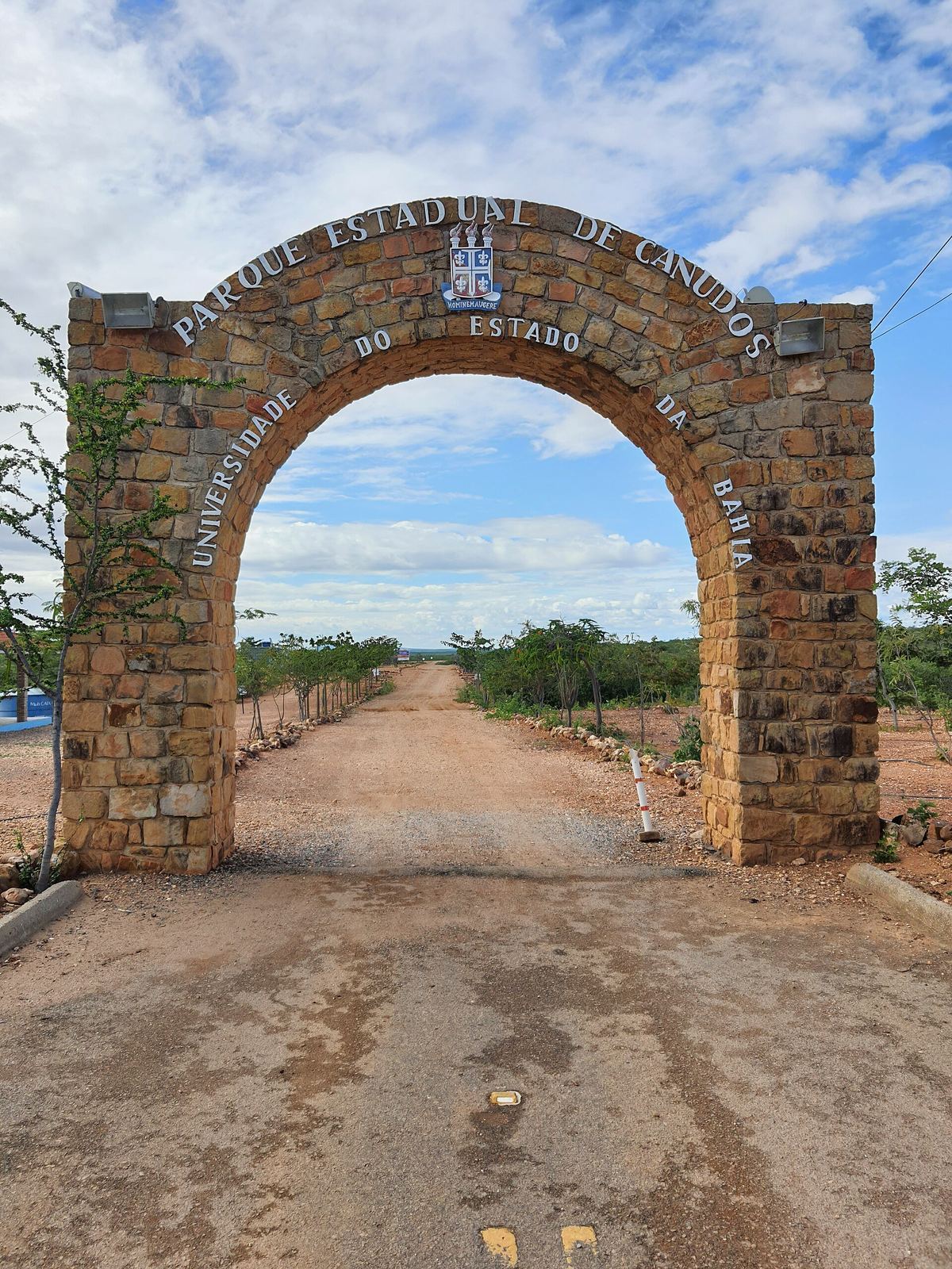
Decree 33.193, issued on 27 May 1986, acquired the land for the park. A second decree, 33.333, established the park on 30 June 1986 and authorized the Department of Education and Culture, working through Bahia State University (UNEB), to take the steps needed to create it. The decree described the park’s purpose as ensuring that the martyrs led by Antônio Conselheiro would not be forgotten.
The park serves as an open-air museum and supports historical research. The Canudos Project, co-funded by UNEB and the Bahia State Research Support Foundation, studied native plants of the region. UNEB and the São Francisco Hydroelectric Company also planted about 1,000 native seedlings.
Remains
The park covers 1,321 hectares, combining battlefield locations and interpretive displays with a dryland landscape. The northern area is flooded by the Cocorobó Dam.
Landscape and waterways
The area is hot and dry throughout the year. Its caatinga, Brazil’s dryland vegetation adapted to seasonal water scarcity, includes thorny plants, cacti, and bromeliads. Research identified about 120 native plant species, with pau-de-rato (Caesalpinia pyramidalis) the most prevalent.
Before the dam was built, rain could make the Vaza-Barris River and other dry channels fill suddenly, then recede within hours. Pools left behind provided water for animals.
Battlefield sites and displays
Trail and military positions
A five-kilometre trail passes locations associated with the nineteenth-century battles. Signs identify former military camps and hospitals, cemeteries for soldiers and followers of Antônio Conselheiro, and trenches occupied by combatants.
Burial grounds and named locations
In the Vale da Morte (Valley of Death), soldiers buried their dead in shallow graves. Erosion can expose human bones there. Another named area is the Vale da Degola (Valley of the Beheading). At Alto do Maio, Colonel Antônio Moreira César, commander of the third expedition, died.
Surface finds
Old rifle bullets, shrapnel, and pottery lie across the ground. These remains are vulnerable to removal by people collecting souvenirs.
Interpretive displays
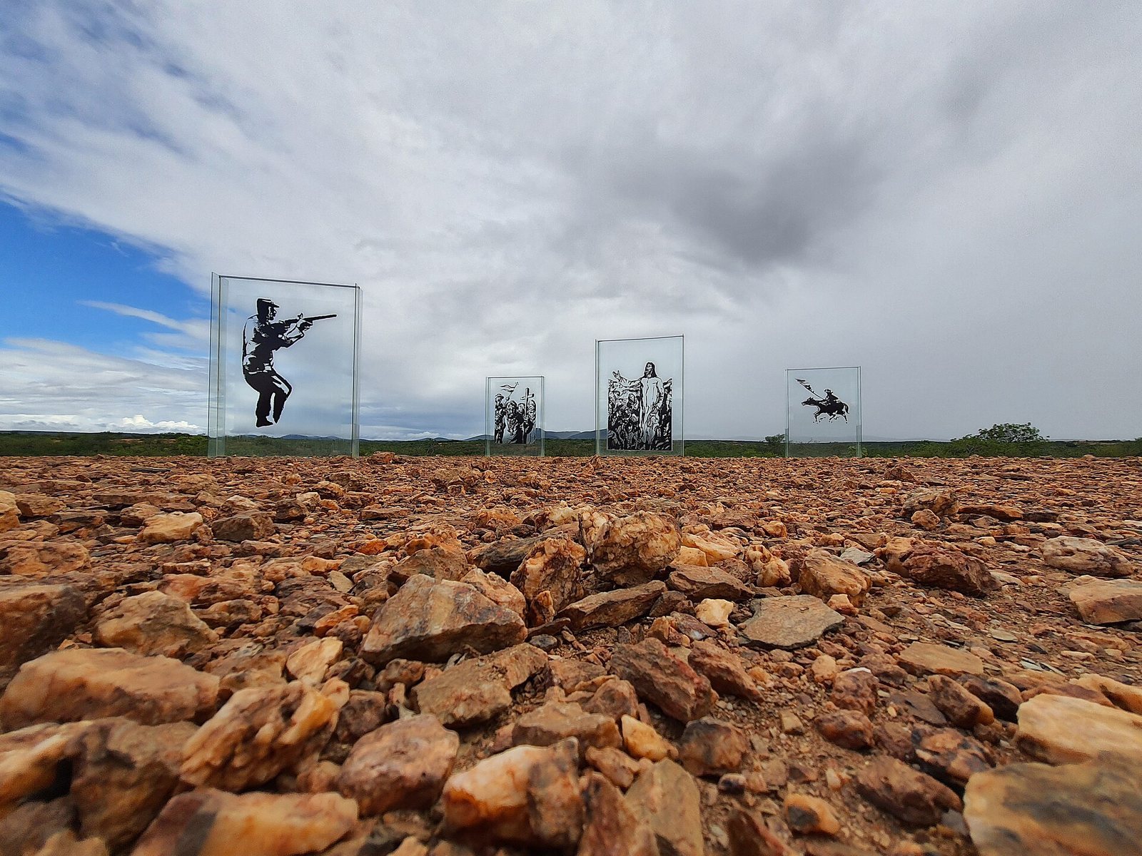
Exhibits include photographs of the war and its aftermath, relics, maps, and signs. The photographic display uses glass panels up to four metres high and includes a regional map and engravings depicting Brazil.