Khor Rori: An Ancient Frankincense Harbor and Estuary in Oman
Site at a Glance
- Country
- Oman
- Primary era
- Classical
- Eras represented
- Classical
- Civilizations
- Unclassified
- Site type
- City
On this page9 sections
History
Early settlements and foundation
Khor Rori is an ancient harbor at the mouth of Wadi Darbat, near Taqah in Oman. Its eastern headland was inhabited by the 4th century BC, before Sumhuram was founded, and settlement there may reach back to the 8th century BC. The ancient South Arabian Kingdom of Ḥaḍramawt established Sumhuram in the 3rd century BC as a fortified port and outpost. Inscriptions record that the foundation was a royal initiative and that emigrants from Ḥaḍramawt settled there. The site’s establishment was motivated in part by an effort to control frankincense production in Dhofar, a major source of the resin in antiquity.
Political change and abandonment
When the estuary was open, Khor Rori served as an important harbor for the frankincense trade. After Ḥaḍramawt declined, Sumhuram came under the influence of the Kingdom of Ḥimyar, another ancient South Arabian kingdom. The settlement on the eastern headland was abandoned in the 1st or 2nd century AD and later reoccupied in the medieval period.
Sumhuram itself was abandoned in the 5th century AD, probably after a sandbar blocked the estuary and closed the harbor. The changing access between the lagoon and sea may therefore have contributed to the end of the port city’s use.
Ancient identifications and modern investigation
Khor Rori has been tentatively identified with Moscha Limen, a harbor mentioned in the anonymous 1st-century AD Periplus of the Erythraean Sea, an ancient guide to maritime routes and trade, and in the following century by the geographer Ptolemy in Geographia. The name has been interpreted as “harbor of young shoots,” perhaps referring to former mangroves, or as “harbor of musk” or perfume. The location has also been associated with Ptolemy’s Abissa polis or Abyssapolis. Proposed explanations connect the name either to the abyss beside the Wadi Darbat waterfall or, possibly, to the Abyssinian people.
Nineteenth-century western geographers anticipated an ancient port in the area from classical and Arabic writings. Eduard Glaser identified the location in the 1890s, and English explorer James Theodore Bent visited in January 1895, published a description, and repeated the proposed identifications with Moscha Limen and Abyssapolis. Excavations by the American Foundation for the Study of Man began in the early 1950s, and the Italian Mission to Oman has worked there since 1994. These investigations revealed maritime connections with the Ḥaḍramite homeland, India, and the Mediterranean. Since 2000, Khor Rori has formed part of the UNESCO World Heritage Site Land of Frankincense, which includes other sites along Oman’s Incense Route.
Remains
The lagoon and estuary
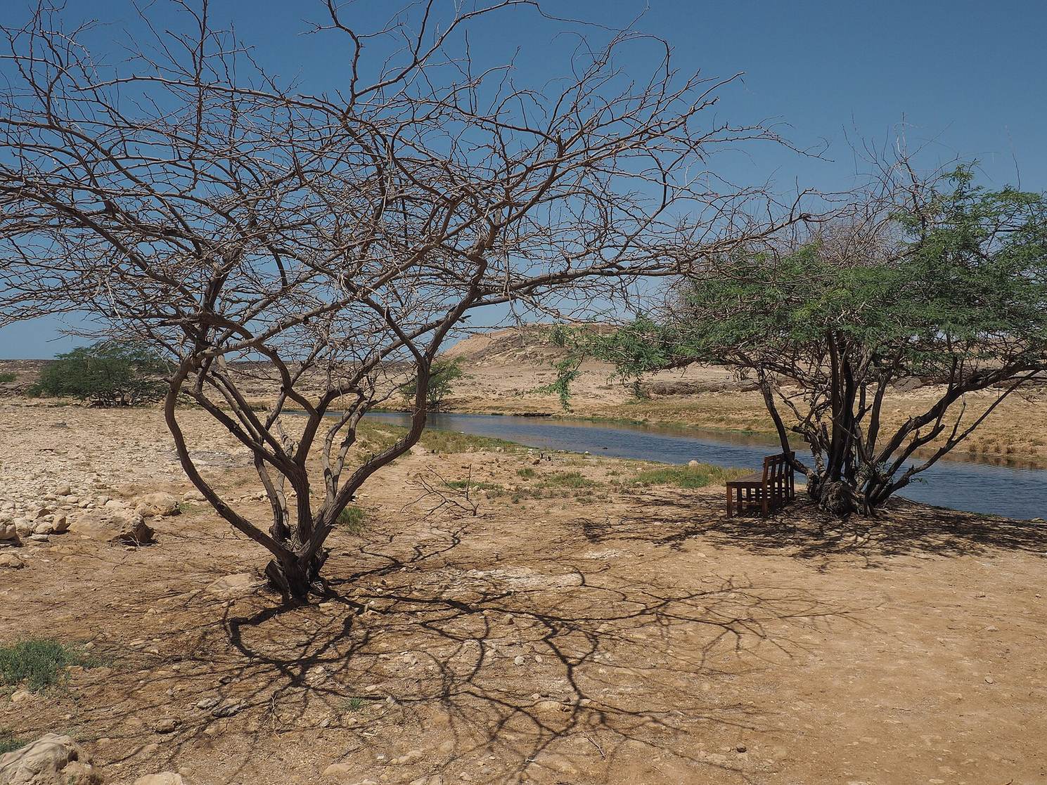
Khor Rori is a bar-built estuary, a river mouth partly blocked by a sandbar, at the mouth of Wadi Darbat. The sandbar usually separates the lagoon from the Arabian Sea, although a narrow, shallow channel may connect them at high water and often dries up. The lagoon reaches a maximum length of 2.5 km, a width of 0.4 km, and a depth of 5 m.
Settlements and headlands
Sumhuram
The ruins of Sumhuram, also rendered Samharam, Samhuram, and Sumharam, occupy the eastern bank of the lagoon. Excavations have exposed the city’s ground plan, and coins of the Kingdom of Ḥimyar have been recovered there.
Headlands at the estuary mouth
Archaeological remains occur on both headlands at the estuary mouth. The eastern headland, Inqitat Mirbat, is also known as Khatiya or al-Ḥamr al-Sharqiya; the western one is Inqitat Taqah. The eastern headland has been investigated more extensively. A peninsula on the eastern side of the entrance was once fortified, and a fortified rock at the entrance was called Khatiyah. Ancient building remains also occur around the lagoon.