Yaynu: A Fortified Recuay Administrative Center in Peru
Site at a Glance
- Rating
- 4.5
- Popularity
- Very Low
- Country
- Peru
- Primary era
- Medieval
- External website
- Open
- Eras represented
- Classical, Medieval
- Civilizations
- Unclassified
- Site type
- Military
- Remains
- Fortified Town
On this page6 sections
History
Yaynu is a fortified hilltop archaeological settlement in the Ancash Region of Peru, built by groups of the Recuay tradition and occupied mainly from approximately AD 400 to 800. It served as an important administrative center and is regarded as the most important evidence of the Recuay culture in the region. The site is also the largest known Recuay settlement.
The Recuay occupation
Yaynu developed progressively during the florescence of the Recuay culture, a pre-Columbian tradition centered in the highlands of Ancash. The settlement stood at the center of a network linking small nearby farming villages. Its defensive arrangements helped protect the community from outsiders and physically separated internal groups, reflecting local political organization and the martial aesthetic of northern Peru during this period.
The main occupation ended when Yaynu was abandoned around AD 800. The settlement’s scale and position within the surrounding network distinguish it from the smaller communities that supported it. Other settlements described as comparable in importance and extent include Pashash, Riway, Tinyash, Marcahuamachuco, and Coyor.
Later activity and archaeological recognition
Inca-period offerings found among the ruins show that activity continued at the site after the primary Recuay occupation. The Inca were the people who created the major Andean empire that expanded across much of western South America before the Spanish conquest.
Archaeological work at Yaynu is associated with Néstor Roca Escudero, Julio C. Tello, and George F. Lau. Lau carried out survey, mapping, and sampling excavations that helped define the settlement’s extent and occupation history. Peru declared Yaynu National Cultural Heritage through National Directorate Resolution No. 682-INC-2004 on June 17, 2004.
Remains
Yaynu occupies a highland hill identified as Yaynohirka, also described as the northern slope of Pañahirka, at more than 4,000 metres above sea level. The ruins lie along the boundary between Pomabamba and Piscobamba, about 17 kilometres south of Pomabamba and approximately 20 kilometres from the Cordillera Blanca. The central settlement covers about 25 hectares, while the wider archaeological area, including defenses, corrals, and terraces, exceeds 105 hectares.
Fortifications and terraces
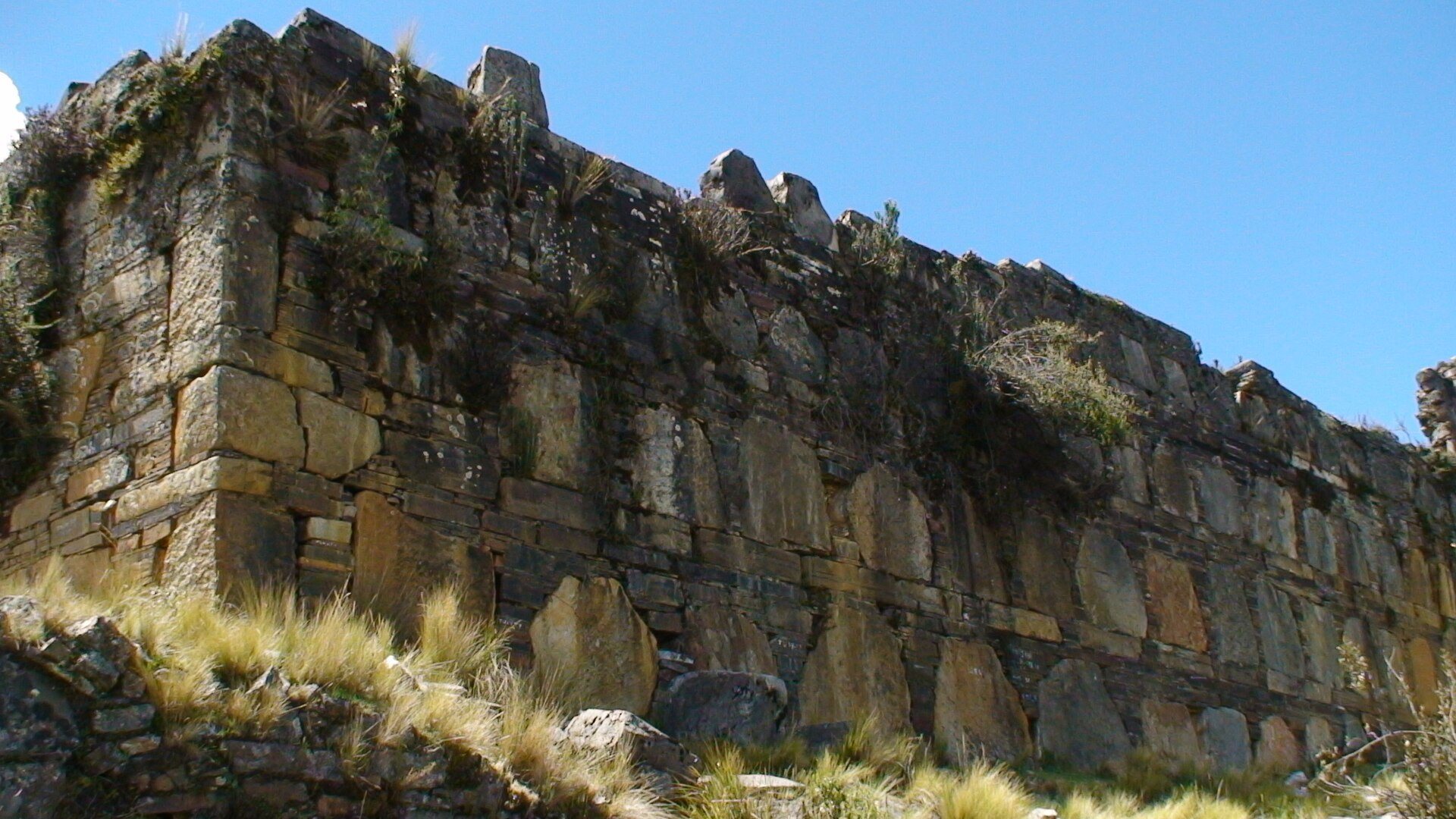
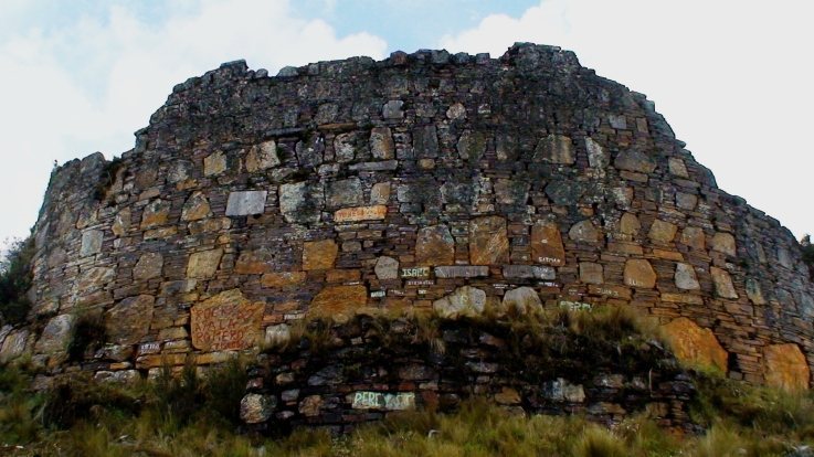
The central sector is densely built with stone structures and enclosed by perimeter walls and long trenches. Natural trenches surrounded the monumental area, while other sections were enlarged and strengthened with masonry. Together with elevated terraces and restricted accesses, these features formed a defensive system adapted to the hilltop setting. The walls may originally have reached approximately 15 metres in height.
Associated terraces and corrals extend beyond the fortified core. These features form part of the wider settlement and show how the defended central area was connected with spaces for cultivation and the management of animals.
Central settlement
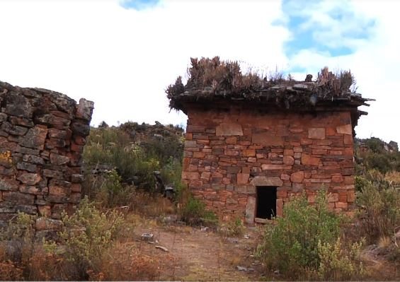
The central buildings used Wanka-pachilla masonry, a construction style based on fitted or laid stone. The settlement’s architecture served residential and ceremonial purposes, with the densely arranged structures positioned within the defensive boundaries. The surviving remains preserve the relationship between the built core, its enclosing defenses, and the larger area of terraces and corrals.