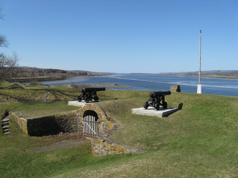
Melanson Settlement: An Acadian Family Community in Nova Scotia
Site at a Glance
- Rating
- 3.7
- Popularity
- Very Low
- Country
- Canada
- Primary era
- Early Modern
- External website
- Open
- Eras represented
- Early Modern
- Civilizations
- French
- Site type
- Domestic
- Remains
- House
On this page9 sections
History
Melanson Settlement is an Acadian family community on the north bank of the Annapolis River at Granville Ferry, Nova Scotia, Canada, founded around 1664 by Acadian settlers. It stood in the former Port-Royal region, about 6.5 kilometres downstream from Port-Royal, later Annapolis Royal. Charles Melanson, also known as La Ramée, and Marie Dugas established the settlement after their marriage, creating a family community that remained occupied for four generations before the Acadian Deportation.
Foundation and Family Community
Charles Melanson was a farmer and settler from Yorkshire, England, who had come to Acadia with his parents during the seventeenth century. He and Marie Dugas raised fourteen children, eight of whom eventually settled in the family community after reaching adulthood and marrying. The children did not all live there at the same time, but their households formed the core of a small settlement connected through family ties.
The community occupied land beside the Dauphin River, the former name of the Annapolis River, and depended on the surrounding marshes for agriculture. Charles and Marie worked with the neighbouring Guilbeau family, who lived across the marsh, to construct the first dyke. A dyke is an embankment built to hold back water. This system allowed the Acadians to drain salt marshes and turn them into farmland.
Growth under British Rule
Under British rule, Melanson Settlement formed part of the wider Oak Point region, also called Pointe aux Chesnes. Alexandre Robichaud and later Jean Melanson represented the area in discussions with the British governor and the council at Annapolis Royal. The settlement grew during this period, although it apparently contained no more than 10 to 12 households.
Residents continued draining and cultivating the marshes. They built a second dyke in 1708, and by 1725 the drained marsh extended to the river on both sides of the settlement. The community also lay along the route between the fort and Port-Royal, later Annapolis Royal. Eighteenth-century engineers marked it on several maps, leaving unusually detailed evidence of an Acadian settlement before the deportation.
Deportation and Later Land Use
In December 1755, the inhabitants of Melanson Settlement were among the 1,666 Acadians deported from the Annapolis Royal region. The settlement’s buildings were apparently destroyed at that time. In 1759, the north shore of the Annapolis River and its basin, including the settlement’s lands, became part of Granville Township and was granted to New England Planters.
The Planters and their successors continued cultivating the diked marshes, but they built their houses along a road away from the terrace where the Acadian buildings had stood. This separation helped preserve the foundations and other archaeological remains for approximately 250 years.
Rediscovery and Protection
The site was rediscovered in 1984. Archaeological evidence, together with period maps and letters, connects the surviving remains with the different households that lived there and illustrates everyday life in an Acadian family settlement before the 1755 deportation. Parks Canada administers Melanson Settlement, which became a National Historic Site of Canada in 1987.
Remains
Settlement Terrace
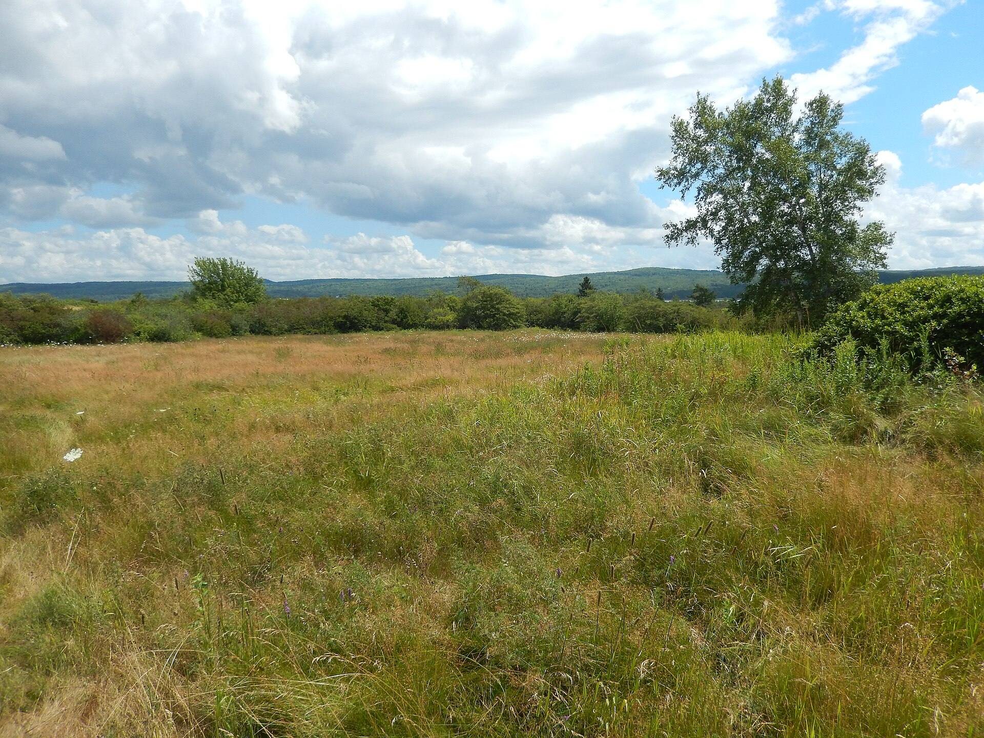
Melanson Settlement is an open archaeological site on a terrace above the Annapolis River and its salt marshes. Houses, farm buildings, other structures, orchards, and vegetable gardens occupied this raised area. The terrace also contains the foundations and remains of the former Acadian buildings, which stayed relatively intact because later landowners placed their houses elsewhere. Together, the remains preserve the physical layout of an Acadian family hamlet along the river.
Dyked Marshes
The settlement’s agricultural fields lay in the salt marshes below the terrace. Acadian settlers drained these areas with dykes, creating farmland by holding back the water. Charles Melanson and Marie Dugas built the first dyke with the neighbouring Guilbeau family, and important sections of the dykes constructed during the seventeenth and eighteenth centuries still survive. These earthworks form part of the agricultural landscape associated with the settlement.
Archaeological Evidence
The foundations and other archaeological resources preserve evidence of the households that made up the community. Period maps and letters help establish connections among the settlement’s families and relate particular remains to the people who occupied them. The archaeological landscape, surviving dykes, and preserved building foundations together provide evidence for Acadian domestic life, farming, and settlement organization before the deportation.