Deer Valley Petroglyph Preserve: An Archaeological Rock-Art Site in Arizona
Site at a Glance
- Rating
- 4.5
- Popularity
- Low
- Country
- United States
- Primary era
- Medieval
- External website
- Open
- Eras represented
- Stone Age, Bronze Age, Iron Age, Classical, Medieval, Early Modern, Modern
- Civilizations
- Hohokam
- Site type
- Civic
- Remains
- Rock Art
On this page7 sections
History
Deer Valley Petroglyph Preserve is an archaeological site in Glendale, Arizona, United States, associated with Western Archaic, Hohokam, and Patayan traditions of the prehistoric American Southwest. Its basalt boulders carry images made by cutting, pecking, or abrading the rock surface, with examples dating from about 5000 BC to approximately AD 1550. The site preserves evidence of symbolic practices alongside short-term activity, tool production, agriculture, and water management.
Early Traditions and Hohokam Use
The earliest identified tradition at Deer Valley is the Western Archaic Tradition, represented between about 5000 BC and AD 300. The Hohokam tradition dates from AD 300 to 1450, while the Patayan tradition is represented from approximately AD 700 to 1550. People appear to have visited the area mainly while traveling toward nearby settlements. Their activities included making tools, carrying out ritual practices, and staying for limited periods.
The petroglyphs had religious and cultural uses, particularly during the Hohokam Preclassic era, approximately AD 700 to 1100. Their use probably ended during the Hohokam Classic Period, approximately AD 1100 to 1450. The wider archaeological record also includes evidence of agriculture and efforts to manage water, indicating that activity at the site extended beyond the creation of rock images.
Investigation and Preservation
In 1980, the U.S. Army Corps of Engineers commissioned an archaeological investigation before construction of the Adobe Dam at Hedgpeth Hills. The Museum of Northern Arizona carried out three months of fieldwork under J. Simon Bruder and produced an archaeological report. The investigation identified the remains associated with the three regional traditions and helped establish the archaeological importance of the area.
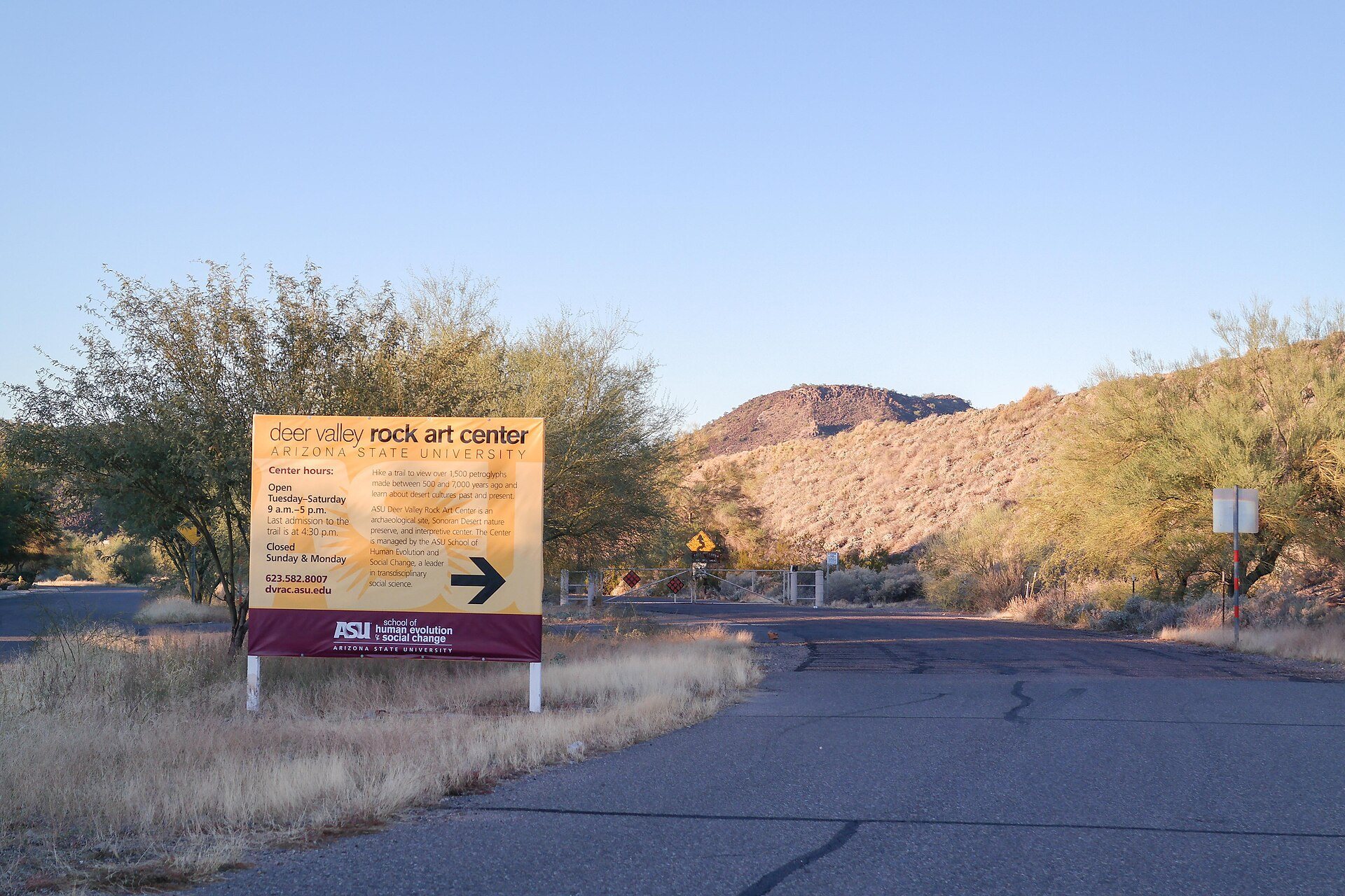
Construction of the Adobe Dam was approved because it was intended to control flooding from nearby Skunk Creek. The preserve was created through cooperation among federal, state, county, and city governments. The Flood Control District of Maricopa County owns the preserve, museum building, and dam land, while Arizona State University’s School of Human Evolution and Social Change operates the archaeological site. The university has managed the museum and preserve since 1994, continuing preservation, protection, research, and educational work.
The site was added to the U.S. National Register of Historic Places in 1984 and was also included among the Phoenix Points of Pride. Its permanent interpretive exhibition, Leaving Marks: The Rock Art and Archaeology of Deer Valley, presents the history of the site and its importance to the surrounding area.
Remains
Basalt Boulders and Petroglyphs
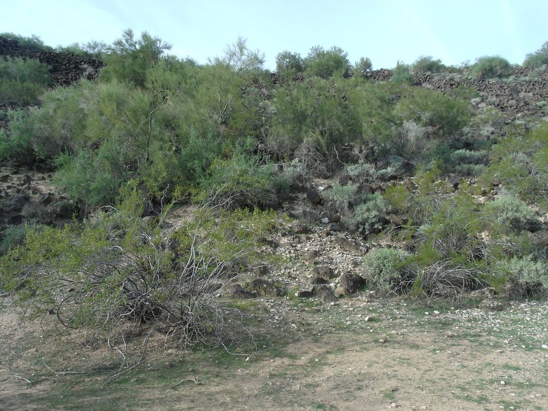
The preserve covers 47 acres and contains more than 1,500 petroglyphs on basalt boulders. The archaeological investigation recorded 1,571 petroglyphs on 579 boulders, while the preserve is also described as containing visible petroglyphs on approximately 500 basalt boulders. The designs range from about 500 to 5,000 years old. Most are linear, accompanied by some curved abstract forms, and together they form the principal surviving visual and symbolic remains of the site.
J. Simon Bruder identified 37 types of design elements represented by 143 varieties. The designs were photographed, drawn, and later digitally documented, supporting continued examination of their forms and distribution across the preserve.
Archaeological Features
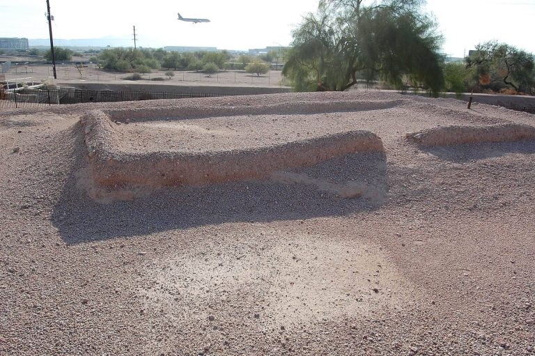
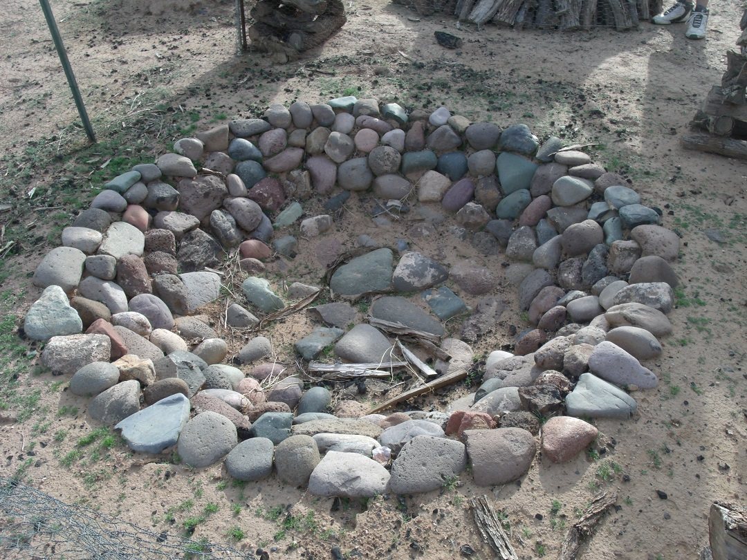
Other remains reflect manufacturing, domestic activity, ritual practices, farming, and water management. Ground-stone and chipped-stone quarries are associated with cobble hammerstones, shells, and bones. The site also contains one pithouse, a semi-subterranean structure with a floor below ground level, along with ten cooking pits and two refuse deposits. Several small stone masonry rooms, a possible canal, and a check dam, a low barrier built across a channel to slow water flow and reduce erosion, add to the evidence for temporary occupation and controlled use of water.
Museum Building
Constructed on the site in 1994, the museum building was designed by architect Will Bruder, with landscape architect Christy Ten Eyck associated with the project. Its steel and concrete elements form a boomerang-shaped plan intended to symbolize a connection between the city of Phoenix and the preserve’s sanctuary. The building provides space for exhibitions, teaching, research, and presentations, and includes the permanent Leaving Marks: The Rock Art and Archaeology of Deer Valley exhibition.