Plan de Ayutla: A Pre-Columbian Maya Urban Center in Mexico
Site at a Glance
- Rating
- 4.7
- Popularity
- Very Low
- Country
- Mexico
- Primary era
- Medieval
- Eras represented
- Classical, Medieval
- Civilizations
- Maya
- Site type
- City
On this page25 sections
History
Plan de Ayutla is a pre-Columbian Maya archaeological site in Chiapas, Mexico, in the mountainous Sierra de Jalapa area of the Lacandon Jungle. Archaeological evidence begins around 150 BCE, and an urban settlement developed after approximately 50 BCE, making the site one of the earliest known occupied urban centers in the Upper Usumacinta region. It remained in use through the Early, Late, and Terminal Classic periods, the successive phases of Maya history, before being violently abandoned between approximately 1000 and 1100 CE.
Early settlement and urban growth
The site lies about 3.5 kilometers from the modern community of Plan de Ayutla and approximately 35 kilometers northwest of Bonampak, near the Guatemalan border. Its modern name comes from the nearby Tzeltal community. The ancient identity of the settlement remains unresolved. It may have been Ak’e, meaning “Turtle,” or Sak Tz’i’, meaning “White Dog,” but no inscription from the site securely identifies it with either polity.
A residential complex dated to approximately 50 BCE–50 CE provides evidence for an early urban community. The buildings had rounded corners, an early Maya architectural feature. Later construction covered much of this first complex, whose upper portions were dismantled and reused as rubble. This sequence shows that the settlement was repeatedly rebuilt as its political and ceremonial center developed.
Political identity and regional conflict
The possibility that Plan de Ayutla was Sak Tz’i’ connects the site with conflicts involving Yaxchilan, Bonampak-Lacanha, Tonina, and Piedras Negras. A monument at Piedras Negras records the capture of Lord K’ab’ Chan Te’ of Sak Tz’i’ in 628. The events surrounding the capture remain open to interpretation. One reconstruction places him under the authority of Piedras Negras, later assisting it against Bonampak and La Mar. Another holds that he survived and retaliated against Piedras Negras, Bonampak, and La Mar. The K’ab’ Chan Te’ named in 641 may also have been a different ruler who bore the same recurring name.
During the seventh century, Sak Tz’i’ may have controlled territory extending from at least La Mar to Bonampak. Aj Sak Maax ruled the polity from the 750s until at least 772, and El Cayo appears to have been subordinate to both Sak Tz’i’ and Piedras Negras during his reign. By 787, Aj Sak Maax was no longer king. Yete’ K’inich of Sak Tz’i’ then had two subordinate lords captured during an apparent rebellion by Bonampak, with assistance from Yaxchilan. The events are represented in the murals of Bonampak. After 789, Tonina attacked Jats’ Tokal Ek’ Hiix, who was then ruler of Sak Tz’i’.
The identification of Plan de Ayutla with Sak Tz’i’ was strongly advanced by Luis Alberto Martos López during investigations from 2003 to 2013. The North Acropolis resembles the Grand Acropolis of Piedras Negras, suggesting an important connection, but no inscription found at Plan de Ayutla securely links the settlement with the Sak Tz’i’ dynasty. The discovery of Sak Tz’i’ Panel 1 at Lacanjá Tzeltal also weakened the earlier theory that Plan de Ayutla was the kingdom’s original capital. It may instead have been one of several later or secondary capitals.
Alternative identification and final occupation
The alternative identification with Ak’e proposes that Plan de Ayutla was the original seat of Ak’e’s court before the dynasty later established itself at Bonampak. This interpretation draws on shared features including the ballcourt layout, column-shaped altars, and roof ornaments on Structure 13. It remains disputed because the site’s double-gallery buildings more closely resemble those at Ojo de Agua and Nuevo Jalisco than those at Bonampak and Lacanha.
Fine-paste ceramics appeared during the final construction phase, around 800–850 CE, and are associated with Chontal groups. Around 850, Plan de Ayutla appears to have been governed by a multepal, a form of collective government in which authority was exercised by a ruling council rather than by a single king. The destruction of the probable seat of this government may reflect an attempt by a new dynasty to seize power. That dynasty appears to have failed, and the city was subsequently abandoned between approximately 1000 and 1100.
Rediscovery and archaeological work
Local Lacandon people knew the ruins before formal archaeological investigation. Guided by Lacandon informants, Peter Schmidt reached the site and published an early report in 1975. Alejandro Tovalin returned in 1994 as part of the Bonampak project, renewing archaeological interest in the settlement.
In 2001, the local community began clearing jungle around the ruins and requested archaeological assistance. Formal excavations began in 2003 under Luis Alberto Martos López. Tovalin had documented only the North Acropolis, but Martos identified it in 2004 as one of three acropolises. Restoration began in 2008 under Mexico’s National Institute of Anthropology and History, the federal institution responsible for archaeological research and preservation. Work concentrated on the North Acropolis and Ballcourt Structure 39 and continued through 2012.
Remains
Plan de Ayutla covers no more than approximately 24 hectares, with the central core occupying about one third of the site. Seventy-two buildings are distributed around three natural hills that were reshaped into the North, East, and West Acropolises. Three principal plazas lie between and around these elevated complexes, and the larger spaces were further divided into seven smaller plazas used for civic and religious activities. The acropolises preserve the best-surviving buildings, while many plaza edges are formed by earth and rubble mounds.
Plazas and central buildings
The West Plaza is divided into two spaces by two steps and a rectangular building. Between the North and West Acropolises lies Plaza Ajk’ol, meaning “Upper” in Tzeltal. It is a sunken enclosure with five buildings to its northwest and Plaza Yolil to its southeast. Structure 18 forms a long, narrow terrace at the base of the West Acropolis above Plaza Ajk’ol. It may have served as a wall or processional way.
Plaza Yolil, meaning “Central,” lies between the North and West Acropolises. Ballcourt Structure 39 borders it on the southeast and separates it from Plaza Alan. The central and eastern plaza system includes Plaza Alan, meaning “Lower,” and Plaza Muku’l, meaning “Great,” which lies between the North and East Acropolises. South of Plaza Alan are Plaza Tut, meaning “Small,” and Plaza Beja’, named for the ravine or stream that crosses it. Plaza Tonna’, meaning “of the Stone Houses,” extends northeast from Plaza Muku’l and is bordered by four residential complexes.
Ballcourt Structure 39
Structure 39 is the largest ballcourt so far identified in the Upper Usumacinta region. The complex consists of six buildings and extends approximately 65 meters. Instead of a conventional central marker, it has a single central column. Its position between the three acropolises and the three principal plazas places it at the physical center of the settlement.
North Acropolis
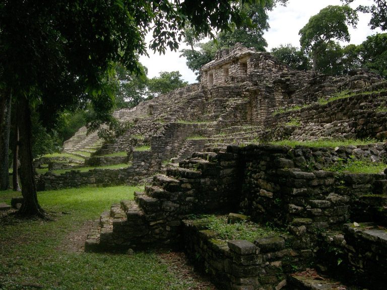
The North Acropolis is a palace complex built around a modified natural hill approximately 45 meters high. It contains at least 19 structures, including elite residences, temples, and meeting spaces. Four buildings on rising northern terraces give the complex a form comparable to the Grand Acropolis of Piedras Negras. Fine-paste ceramics and other materials indicate occupation through the Late Classic period.
Early residential complex
Excavations in 2011 revealed an earlier patio beneath the later North Acropolis buildings. Residential structures around the patio date to approximately 50 BCE–50 CE. Their rounded corners belong to an early Maya architectural tradition. When later construction took place, the upper parts of these buildings were generally dismantled and used as fill.
Terminal Classic theater
A theater dating to approximately 800–900 CE was discovered in the North Acropolis in 2012. An earlier patio surrounded by buildings from approximately 250–500 CE was remodeled with three broad seating tiers. The outer wall of another building was demolished to form a stage. The theater could have accommodated no more than about 120 people, and its size and position suggest that it may have supported a program intended to legitimize a new ruling dynasty around 850.
Elite bath
A bathing installation for an elite individual stood within the same complex. It included a drainage system, while vessels for holding water were found in an adjoining room. The installation is one of only four known pre-Hispanic baths in Mexico, the others being at Palenque, Tonina, and Teotihuacan.
Structures 1, 2, and 3
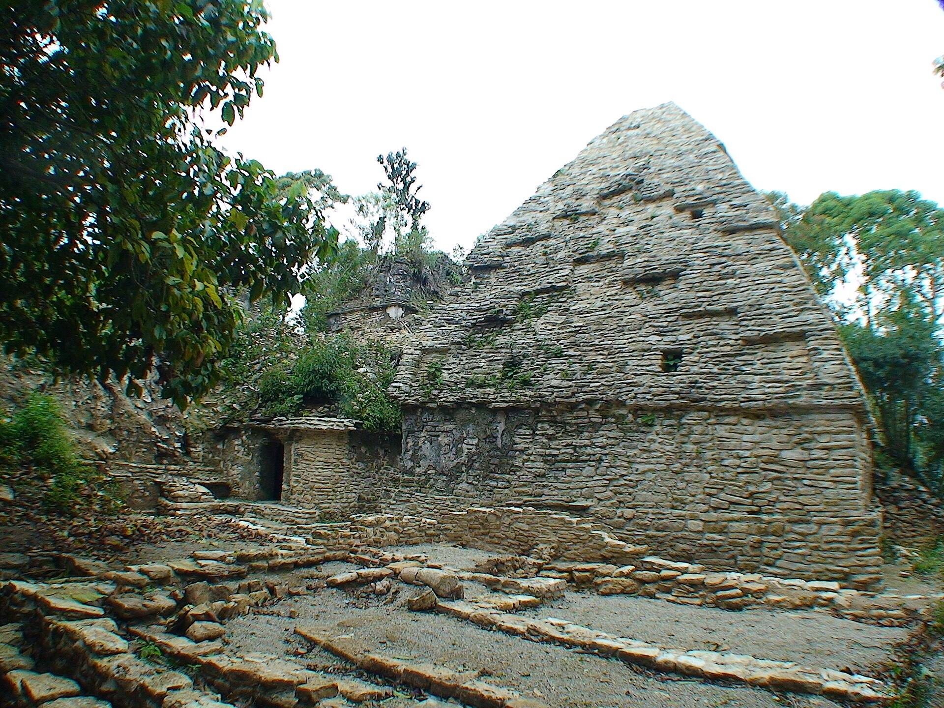
Structures 1, 2, and 3 stand on the southern side of the North Acropolis. Each had a vaulted roof, a narrow entrance, and three interior chambers. Their architectural relationships with buildings at Palenque place them within a wider pattern of regional Maya construction.
Structure 4
Structure 4 stands on the second terrace from the top of the North Acropolis and was built around 800. Metal cooking utensils dating to approximately 900–1000 CE suggest that it served as a kitchen or pantry. Two burials from the same period were found nearby inside a modified staircase. One individual was female and was buried with female clay figurines and cooking utensils.
Structure 6
Structure 6 was an L-shaped building with two temples at its ends. It appears to have been the seat of the ruling council during at least part of the Terminal Classic. Walls were later built around the structure.
Structure 13
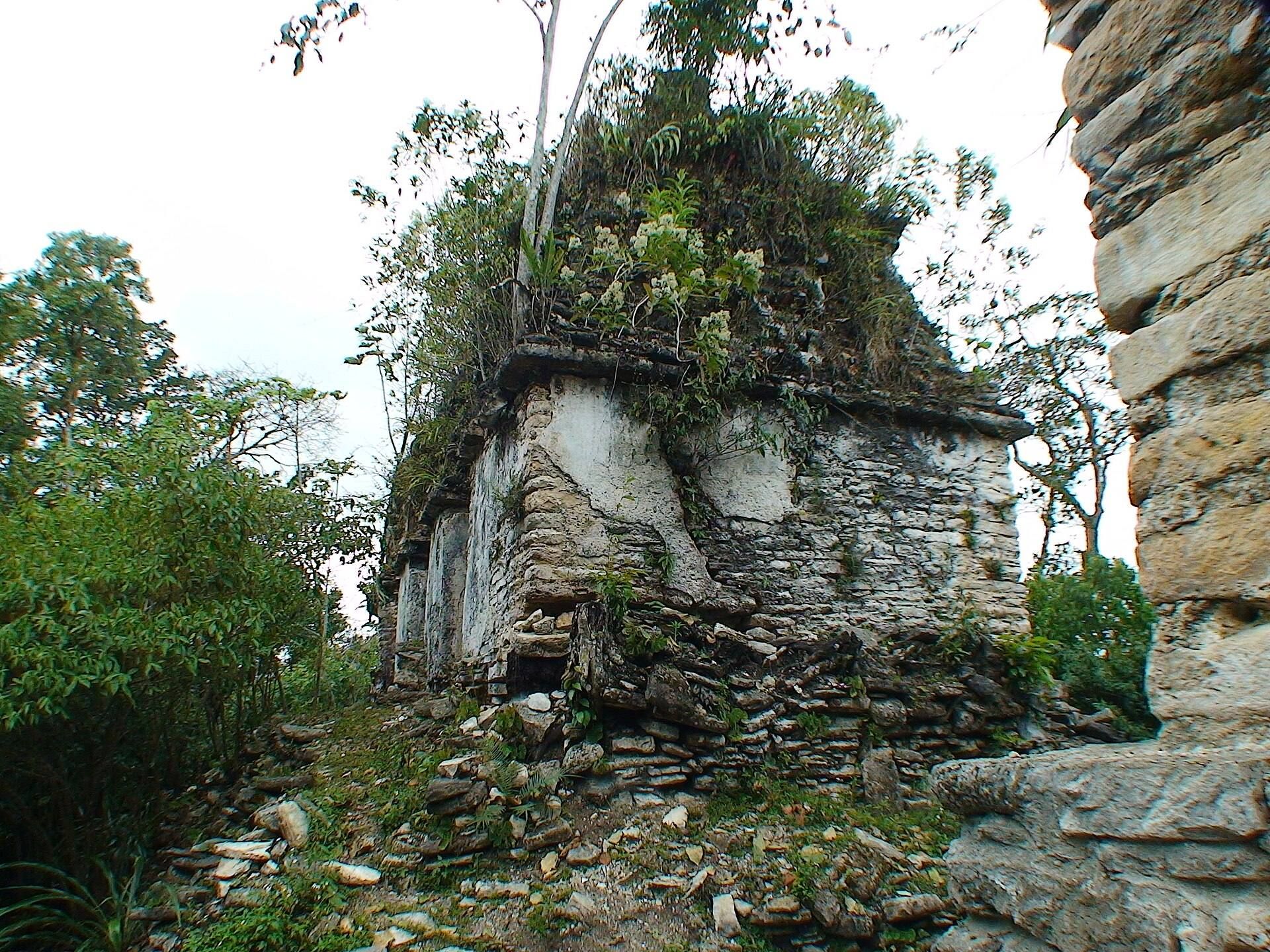
Structure 13 is a distinctive Early Classic building. Its vault rises approximately 8 meters, among the tallest known in the Maya area. The interior was painted black, an uncommon treatment in Maya architecture, and the exterior roof carried unique stepped patterns. Two additional chambers above the principal rooms may have formed a second story or strengthened the structure.
Graffiti inside Structure 13 depicts a throne, a ruler, and the building itself. These images have led archaeologists to suggest that the structure may have been a ruler’s residence. Openings in the building produce three rectangular patches of light on the ceiling in mid-July, at the beginning of the agricultural cycle.
East Acropolis
The East Acropolis was built on another modified natural hill. Four buildings surround its central plaza, and a staircase may once have descended southeast toward Plaza Tut. A burial at the foot of this possible stairway was associated with Late Classic fine-paste ceramics. The complex’s precise function remains uncertain. The massive Structure 58 suggests residential use, while a looted tomb points to a funerary role.
Structure 58
Structure 58 occupies the southwestern side of the East Acropolis plaza and is the complex’s largest building. It was probably once a very large vaulted structure and may have served as a residence.
West Acropolis
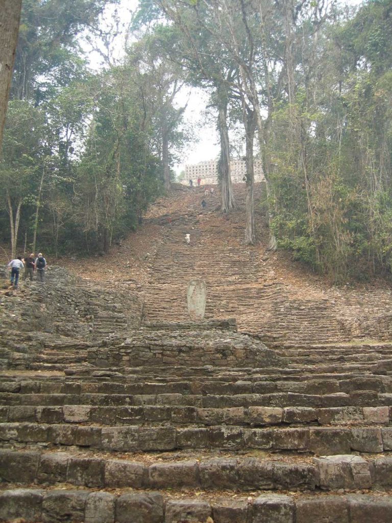
The West Acropolis is the highest of the three elevated complexes. It occupies a ridge extending from the southwest and rises approximately 65 meters above the ruins. Its small spaces suggest use by a restricted elite, while the character of its buildings indicates religious functions.
Structure 25
Structure 25 is a large temple on a cross-shaped platform. During a later construction phase, an additional gallery was built around its inner sanctuary, giving the building an appearance comparable to the temples of Palenque’s Cross Group.
Structure 26
Structure 26 was a large stepped platform, formerly reached from the north by a staircase that no longer survives. A ruined temple stood on its summit.
Structure 27
Structure 27 is a rectangular building with three entrances.
Structure 31, the Temple of Inscriptions
Structure 31 occupies the highest point of the site and contains the only writing so far found at Plan de Ayutla. It is a single-room building on a three-stepped platform. Stucco friezes decorated its base and sides, although they are now badly eroded and preserve only fragments of writing. The clearest glyphs survive on the western side. They remain undeciphered, while epigraphers consider their style possibly Early Classic, around 375 CE.
Structure 32
Structure 32 was a five-level stepped platform with a staircase and a temple on top.
Condition and evidence
Heavy looting has damaged many structures, and all stelae have been removed. The resulting scarcity of inscriptions makes it difficult to establish the site’s political identity and historical interpretation. The surviving buildings, plazas, ceramics, burials, graffiti, and fragments of writing nevertheless preserve evidence for a settlement that developed from an early urban community into a complex center with residential, ceremonial, administrative, and religious architecture.