Pulemelei Mound: An Archaeological Monument in Samoa
Site at a Glance
- Rating
- 4.1
- Popularity
- Very Low
- Country
- Samoa
- Primary era
- Medieval
- Eras represented
- Medieval, Early Modern
- Civilizations
- Polynesian
- Site type
- Civic
On this page13 sections
History
Pulemelei Mound, also known as Tia Seu Ancient Mound, is a stepped stone monument at the Letolo archaeological site in Palauli, southern Savai‘i, Samoa. Built by Samoan communities mainly between approximately AD 1100 and 1400, it is a particularly large and ancient structure whose successive construction phases reflect changing ceremonial activity and the development of chiefly society.
Settlement before the mound
Human activity at Letolo began well before the mound was built. Material beneath the mound dates to approximately 2,000 years ago, while an early settlement south of it contained earth ovens, pottery, and a stone tool. A later settlement phase dates to about 900 years ago, shortly before construction of the mound’s first form. Earth ovens were used to cook the root of the ti plant, Cordyline fruticosa, by heating it with hot stones. The plant may also have had a ritual use.
The site’s chronology includes an interval from approximately AD 200 to 700 in which archaeological evidence is uneven. Later radiocarbon research, which estimates the age of organic remains through radioactive carbon decay, identified stronger activity in the Pulemelei area during the Samoan “Dark Age,” approximately AD 700–1000. This term describes a period when material evidence is relatively limited, rather than proving that human activity ended throughout the region.
Mound construction and ceremonial development
Construction probably took place between AD 1100 and 1400, in five phases that enlarged the mound and its associated structures. The first phase created a large platform, probably about 65 by 50 metres and 3 metres high, outlined by stones set on edge. Its scale has led archaeologists to consider several possible functions, including a ceremonial or religious structure, an important administrative building, or a central place connected with the growth and social ranking of Samoan chiefly communities.
Ceremonial activity intensified between approximately AD 1400 and 1600. A large earth oven was built and later used near the mound’s northern side, while material was added to the base platform. Stone pathways and ramp-like structures formed a more clearly defined social space around the mound, possibly accommodating larger ceremonies. The upper platform was probably added during this general period, alongside an earth oven for processing ti roots and a paved area or house on the southern side.
The mound’s east and west sunken entrances, and probably its southern ramp, were added after the original platform. Their alignment from east to west has been interpreted as evidence of ceremonial importance. A later sixteenth-century modification added sunken walkways on the eastern and western sides.
Abandonment and archaeological investigation
During the fifth phase, approximately AD 1600–1800, the mound and its associated structures were abandoned. The change in settlement pattern has been linked to European contact and cultural changes within Samoan communities.
Archaeological work on Savai‘i followed earlier investigations on Upolu. Roger Green and Janet Davidson’s 1963–1967 programme included mapping and surface investigation by Stuart Scott, during which the mound was mapped. Gregory Jackmond’s 1977–1978 survey recorded about 3,000 features in the wider area, including platforms, stone fences, pathways, and earth ovens.
Three excavation seasons from 2002 to 2004, led by Helene Martinsson-Wallin and Paul Wallin of the Kon-Tiki Museum and Geoffrey Clark of the Australian National University, examined the mound and surrounding settlement with local workers from Vailoa. The project cleared secondary vegetation, produced a digital map, measured the mound, identified its platforms, mapped more than 60 nearby features, and established a sequence of construction phases. Excavation and radiocarbon dating clarified the earlier settlements beneath and around the mound and their relationship to the monument’s development.
Since 2006, Pulemelei Mound has been included under the protection of the World Monuments Watch, an international heritage programme for culturally important sites considered vulnerable and in need of conservation.
Remains
Pulemelei Mound is a stepped pyramid built entirely from locally available volcanic basalt. Its rectangular base measures approximately 65 by 60 metres. The mound rises about 12 metres along its southern edge and 7 metres along its northern edge, and its overall layout appears aligned with the cardinal directions. Two smaller platforms rise above the large base platform, producing a three-platform, stepped profile.
The stepped mound
Base platform
The base platform began with vertically placed, tabular basalt slabs set into a shallow trench. A rectangular foundation outline was then filled with horizontally laid slabs resting on foundation stones. This created a platform approximately 3 to 4 metres high on the southern side. The first phase probably had a stone-paved upper surface and was outlined by upright stones.
The mound uses dry stonework, in which stones are laid without mortar. Its walls consequently lean slightly outward rather than standing perfectly vertical. The original base sides were probably close to vertical, while later collapse has made some surviving faces appear more steeply inclined. The construction uses natural volcanic stones available locally in large quantities, with no shaped stones identified.
Upper platform
The upper platform measures approximately 41 metres from east to west and 32 metres from north to south. Its level surface was paved with rounded stream stones. More than 40 stone cairns, or human-made piles of stones, were found there. Local informants said these recent piles formed when vegetation was cleared from the mound.
Entrances and ramps
Sunken entrances on the eastern and western sides provide access to the upper platform. A ramp lies along the southern side, while ramp-like structures and associated pathways were also recorded to the north and south. The entrances and later walkways form part of the mound’s successive alterations rather than a single construction stage.
Surrounding settlement features
Earth ovens and southern settlement
The early settlement south of the mound occupied a soil-covered natural stone surface. It contained earth ovens, pottery, and a stone tool. Other excavated features included earth ovens and basalt slabs south and west of the mound, as well as an earth oven beneath the base platform. A large oven near the northern part of the mound and another associated with ti-root processing relate to the later development of the site.
Platforms, walls, and pathways
More than 60 features surrounding the mound were mapped during the 2002–2004 investigations. They include platforms, stone walls or fences, pathways, and additional earth ovens. Together, these features define an archaeological landscape extending beyond the main monument.
Condition and material survival
Extensive stone rubble and exposed masonry surround the mound. Structural instability, tree growth, and human activity have affected the surviving fabric, although original walls remain in places where ramps or retaining walls were built. Stone was removed from the mound in relatively recent times for a fence on its eastern and northwestern sides.
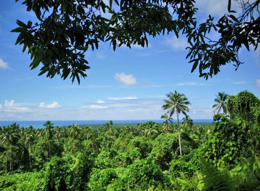
Dense jungle surrounds the monument, while the exposed remains are subject to environmental deterioration, erosion, and weathering. The surviving platforms, entrances, pathways, ovens, and associated structures preserve the physical sequence through which the Letolo site expanded and changed.